
The Geophysical & hydro-geological assessment of proposed site is essential to determine
whether and where to select a feasible point to drill a pilot bore hole. In this regard the
ground water survey is done by latest PQWT equipment
Different instruments are used to determine the subsurface hydrological parameters, one of them is PQWT S-500. It uses the natural electric field source as a working farm, with resistivity contrasts underground rocks and minerals or groundwater, based on measuring the natural electric field on the surface of the “N” different frequency electric field component, according to their different variation to study. This method measures the electrical component of the electromagnetic field of the earth, so called natural electric field method. The maximum underground water depth that can be scanned with PQWT survey method is from 0 – 500 m.
Instrumentation and Field Procedure for Subsurface Hydrological Work
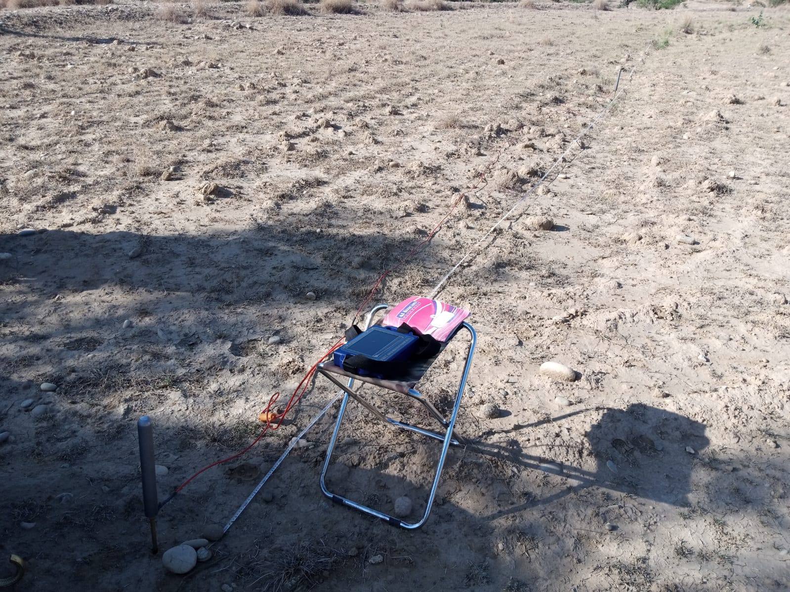
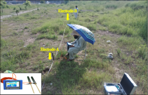
In PQWT groundwater survey, two electrodes A & B were placed at maximum length of 10 m (shown in figure below) with dot spacing of 1 m or 2 m that records the natural electric field of the earth and then software generates the subsurface curve graph & profile map.
 .
.
Methodology of the Interpretation and Evaluation of Data
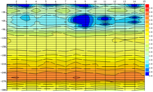
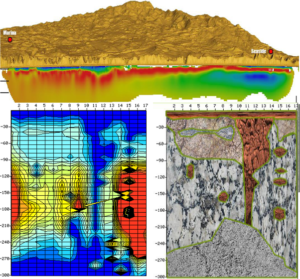
The methodology of the interpretation of PQWT data made through subsurface profile map, defined as the vertical section of the measuring points that is exposed by a measuring of Natural electrical fields variations, examples are shown in the following figure
